PAGASA Rain Forecast for Visayas and Mindanao This Week
The ITCZ is bringing scattered rain and thunderstorms to parts of the Visayas and Mindanao, while two systems stay far outside Philippine waters.
In this article
The latest PAGASA rain forecast says the Intertropical Convergence Zone (ITCZ) is bringing rain to Southern Luzon, parts of the Visayas and Mindanao. According to Philstar's report on PAGASA's Sunday, 11 October 2026 outlook, residents in affected areas should watch for flash floods and landslides during moderate to, at times, heavy rain. No tropical cyclone was reported inside the Philippine Area of Responsibility (PAR).
What PAGASA forecast for the Visayas and Mindanao
Philstar reported that Mindanao, Bicol, MIMAROPA, Western Visayas and the Negros Island Region would see cloudy skies with scattered rain and thunderstorms because of the ITCZ. The rest of the Visayas, which includes Cebu, was forecast to be partly cloudy to cloudy with isolated rain showers or thunderstorms.
| Area | Forecast | Cause |
|---|---|---|
| Mindanao (including Davao), Bicol, MIMAROPA, Western Visayas, Negros Island Region | Cloudy, scattered rain and thunderstorms | ITCZ |
| Rest of the Visayas (including Cebu) | Partly cloudy to cloudy, isolated showers or thunderstorms | ITCZ |
The report did not give rainfall amounts or timing, so check PAGASA's updated bulletins and our weather page before you travel.
Storms are far from the Philippines
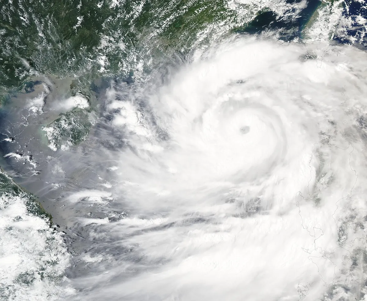
Philstar's 3 a.m. update placed Typhoon Koguma about 2,795 km east-northeast of extreme northern Luzon, with maximum sustained winds of up to 175 km/h and gusts up to 215 km/h, moving northwest at 20 km/h. A separate tropical depression was about 2,940 km east of Southern Luzon. Both were outside the PAR as of that update.
If a system does approach, learn what each warning means in our PAGASA typhoon signals guide.
The bigger picture: El Niño
GMA News reported in July that PAGASA gave an 81 percent chance of a very strong El Niño developing between October 2026 and January 2027. El Niño typically brings below-normal rainfall and fewer tropical cyclones, though some can still reach typhoon strength. That outlook listed Cebu among areas forecast to face drought conditions by the end of August.
So today's ITCZ rain is a seasonal pattern, not a sign that the dry-weather risk has passed. For how this affects supply in Metro Cebu, read our report on the Cebu City water interruption.
Travel tips for this week
- Carry a light rain jacket for afternoon thunderstorms in Cebu and Davao.
- Avoid river crossings and steep roads after heavy rain because of landslide risk.
- Check ferry and flight status before heading out, as rough weather can cause delays.
- Follow local disaster office advisories for your area.
See our Cebu guide and Davao guide for planning, and the news page for updates. This is a summary of published forecasts; PAGASA's own bulletins are the official source.
Sources
- Philstar: ITCZ to bring rains to Southern Luzon, Visayas, Mindanao — PAGASA
- GMA News: Very strong El Niño likely from October 2026 to January 2027 — PAGASA
Frequently Asked Questions
Is there a typhoon heading to Cebu or Davao?
Not according to the latest reports reviewed. Typhoon Koguma and a tropical depression were both far outside the PAR as of PAGASA's 3 a.m. update on 11 October.
What is the ITCZ?
The Intertropical Convergence Zone is a band where winds from the north and south meet, producing clouds and rain. PAGASA says it is the cause of the current rain over parts of the Visayas and Mindanao.
Should I worry about flooding?
PAGASA warned of possible flash floods and landslides in ITCZ-affected areas during moderate to heavy rain, so avoid flood-prone and steep areas and follow local advisories.