Samal Bridge Update: The Samal Island-Davao City Connector
The Samal Island-Davao City Connector will link Davao City and Samal by road. Here's what the project is, where it stands and how it could change travel.
In this article
The Samal bridge, officially the Samal Island-Davao City Connector (SIDC), is a roughly 3.98-kilometre road bridge being built across the Pakiputan Strait to link Davao City with the Island Garden City of Samal. It is funded mainly through official development assistance from China and implemented by the Department of Public Works and Highways (DPWH). Construction got under way in 2022-2023, and the completion date has moved over time, so watch official DPWH updates for the current timeline.
Samal Bridge Quick Facts
| Detail | Information |
|---|---|
| Official name | Samal Island-Davao City Connector (SIDC) |
| Length | Approximately 3.98 km, including approaches |
| Links | Davao City and the Island Garden City of Samal |
| Crosses | Pakiputan Strait |
| Implementing agency | Department of Public Works and Highways (DPWH) |
| Funding | Mainly official development assistance (ODA) from China, with Philippine government counterpart funds |
| Construction start | Groundwork and construction activity from around 2022-2023 |
| Expected completion | Target dates have shifted; check DPWH for the latest |
Figures are based on publicly reported project information. For the most current details, refer to the DPWH website and official government announcements.
What Is the Samal Island-Davao City Connector?
For decades, the only way to get between Davao City and Samal has been by boat. RoRo barges carry cars and passengers from the Sasa area to Babak, while smaller boats serve other landings. The crossing is short, but queues on weekends and holidays can be long, and bad weather can halt sailings.
The SIDC aims to replace much of that with a direct road link. It is designed as a four-lane bridge, letting cars, buses and trucks drive between the city and the island without waiting for a vessel. It is one of the biggest infrastructure projects in Mindanao and has been part of the national government's infrastructure programme.
Construction Timeline
The project went through feasibility studies, design and financing agreements before physical work began.
| Stage | Approximate timing |
|---|---|
| Planning, studies, design and financing | Before 2022 |
| Groundbreaking and start of works | Around 2022-2023 |
| Ongoing construction | 2023 onward |
| Completion | Target has been revised; see DPWH |
Large bridge projects often face delays from design changes, environmental reviews, right-of-way issues and weather. Treat any completion date you see on social media with caution, and look for confirmation from DPWH or other official government sources.
Environmental Concerns
The route crosses waters close to coral reef areas popular with divers and resorts. Environmental groups and local stakeholders raised concerns about potential impacts on marine habitats, and the alignment and design were discussed in public consultations. Monitoring of these concerns continues to be part of the project conversation.
What the Samal Bridge Means for Travel
When completed, the bridge could change how visitors and residents use Samal.
For tourists
- Faster trips: drive from downtown Davao to Samal's resorts without waiting for a barge.
- Easier day trips: combine city sightseeing and Samal beaches in one day.
- More flexible timing: less dependence on boat schedules and weather suspensions.
Use our distance calculator to plan drives once the route opens, and browse resorts in Davao and Samal for ideas.
For residents and businesses
Residents who commute to Davao City for work, school or hospitals could save significant time. Businesses on Samal may find it easier to move goods, and property demand on the island is likely to grow. Some locals have also raised questions about traffic, development pressure and the future of RoRo and boat operators who depend on the crossing.
| Before the bridge | After the bridge (expected) |
|---|---|
| RoRo or boat crossing, plus waiting time | Direct drive across the strait |
| Sailings can be suspended in bad weather | Road access in most weather conditions |
| Vehicle queues on weekends and holidays | Traffic shifts to road approaches |
| Boat operators carry most traffic | Boat services may adjust to new demand |
How It Compares With CCLEX in Cebu
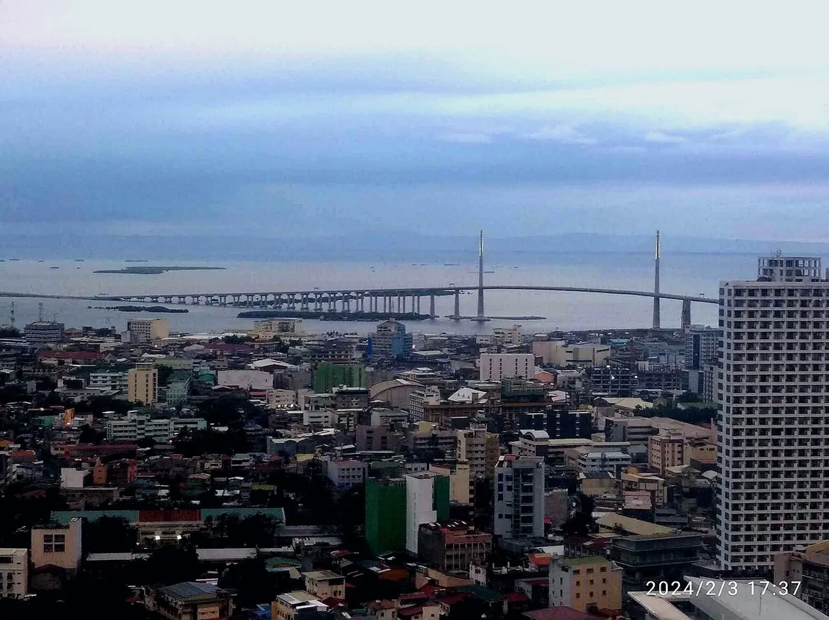
Cebu went through a similar change when the Cebu-Cordova Link Expressway (CCLEX) opened in 2022, adding a third link between mainland Cebu and Mactan Island. CCLEX is a toll road built through a public-private partnership, while the SIDC is a government project funded through ODA. Read our CCLEX guide for comparison.
How to Follow Official Updates
- DPWH — the implementing agency's website and verified social-media pages.
- Davao City and Island Garden City of Samal LGUs — official pages for local traffic and access updates.
- Local news — see our guide to Davao news sources or check our news section.
Samal Island at a Glance
To understand why the bridge matters, it helps to know the island. Samal is a city in its own right, part of Davao del Norte province, with farming and fishing communities, beach resorts, caves and dive sites. Many residents work, study or seek medical care in Davao City, and many Davao families head to Samal on weekends for the beaches. That two-way traffic is why the RoRo queues can stretch on holidays, and why a permanent road link has been discussed for so long.
Visiting Samal While the Bridge Is Being Built
Construction doesn't stop tourism. Boats and RoRo barges continue to run, and resorts remain open. You may notice construction activity, barges and equipment near the bridge alignment, and occasional traffic adjustments around the approach areas on both sides of the strait. If you're driving, allow a little extra time and follow local traffic advisories from the Davao City and Samal LGUs. Once the bridge opens, expect a learning period as new traffic patterns settle in, especially on holiday weekends.
Frequently Asked Questions
How long is the Samal bridge?
The Samal Island-Davao City Connector is approximately 3.98 kilometres long, including its approach roads.
When will the Samal bridge be finished?
The completion target has been revised over time. Check DPWH and official government announcements for the latest timeline.
Who is funding the Samal bridge?
The project is funded mainly through official development assistance from China, with counterpart funding from the Philippine government, and is implemented by DPWH.
Will the RoRo to Samal stop when the bridge opens?
Nothing official has been announced about ending boat services. Ferries and boats may continue, especially for passengers and destinations not near the bridge.